
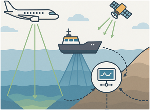
This project delivers the first high‑resolution map of the Vistula Lagoon’s seafloor, combining airborne laser scanning, hydroacoustics, satellite imagery, and shallow seismic surveys. It reveals the lagoon’s hidden underwater landscapes, ecosystems, and archaeological heritage, supporting sustainable management and cultural heritage protection in one of the Baltic Sea’s most unique coastal environments.
Project at a Glance
Project duration: 36 months (06.2025 – 06.2028)
Work Packages (3):
- Data acquisition
- Data processing and interpretation
- Development of automatic mapping methods
Key activities and outputs:
- One airborne LiDAR and photogrammetry survey of the Vistula Lagoon
- 20 days of multibeam echosounder (MBES) surveys, delivering bathymetry with a minimum spatial resolution of 0.2 m
- At least 150 ground‑truth benthic samples, including sediment samples and underwater video/photography
- Two weeks of underwater archaeological prospections
Research objectives
- High‑resolution mapping of the Vistula Lagoon
- Multi‑sensor data integration
- Archaeological and paleoenvironmental exploration
- Automated seafloor classification
- Environmental and temporal change analysis
The study focuses on the Vistula Lagoon, a large, shallow, and ecologically significant estuarine basin located in the southeastern Baltic Sea. Shared between Poland and Russia, the lagoon covers 838 km², of which 328 km² lies within Polish territory. Despite its size and strategic location, the lagoon remains one of the least thoroughly mapped coastal environments in the region.
Separated from the open Baltic by the Vistula Spit, the lagoon forms a semi‑enclosed system characterized by low water depths (average ~2.7 m) and high turbidity, which significantly limits the effectiveness of traditional optical remote‑sensing methods. Its hydrology is strongly influenced by freshwater inflows from surrounding rivers, with the Pregolya River alone contributing nearly half of the total discharge into the basin.
The Vistula Lagoon is also a biodiversity hotspot, supporting rich benthic communities, migratory fish species, and Natura 2000 protected habitats. Soft sediments such as silt, mud, and fine sand dominate the seafloor, fostering productive benthic ecosystems—although the area experiences eutrophication, episodic hypoxia, and pressures from fishing, shipping, and tourism.
Beyond its natural significance, the lagoon contains a remarkably rich archaeological landscape. Evidence spanning from the Palaeolithic period to the 20th century—early settlements, medieval trading routes, submerged structures, and wartime artifacts—suggests that the lagoon has been a dynamic cultural corridor for millennia. However, much of this heritage remains unexplored due to the lack of high‑resolution underwater mapping.
Given its unique blend of ecological value, rapid environmental change, and archaeological potential, the Vistula Lagoon offers an exceptional setting for advancing integrated marine remote sensing, submerged‑landscape reconstruction, and automated seabed classification.
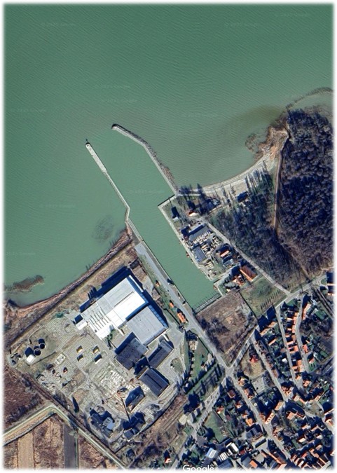
Google Maps (2026). Tolkmicko town [54.325488°N, 19.521594°E].
Available at: https://maps.google.com.
Map data © Google. Imagery © Google.